Solutions
for water
By combining meteorological, hydrological, altimetric and satellite imagery data, space applications are invaluable tools for water management and irrigation. They can be used to monitor the quantity and quality of bodies of water, track surface water and rivers, and provide recommendations on the amount of water to be used daily for an agricultural plot.
Whether you are a Ministry, a Water Agency, a Regional or Departmental Chamber of Agriculture, a Public Territorial Water Basin Establishment (EPTB) or an agricultural organization (cooperative…), there are solutions to answer your needs.
The solutions
EarthChange
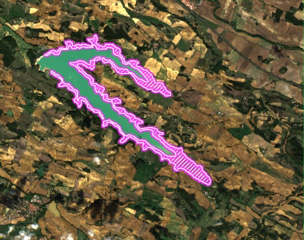
Available as an SaaS or On Premise version, EarthChange accurately identifies the relevant differences between remote sensing pictures to analyze the accessible physical parameters, prepare corrective actions, preserve the environment and save the heritage.
It is used to monitor the level of lakes and rivers and also to detect heat anomalies at ground level. In particular, EARTHChange can send drought or flood warnings.


an innovative service for river basin management and strengthened resilience in the face of hydrological crises.
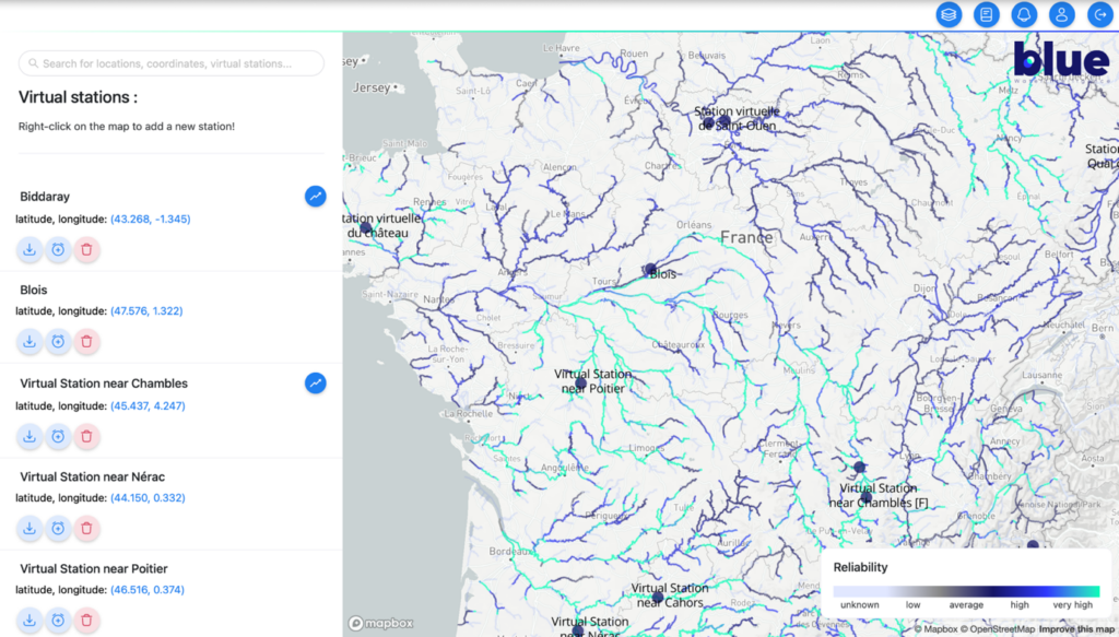
BWI (Blue Water Intelligence) offers a river basin digitization solution based on artificial intelligence technology. Specifically, BWI allows for the creation of virtual stations deployed anywhere on a hydrographic network. These stations can provide reliable hydrological forecasts, leading up to 10 days.
The BWI solution is accessible via an intuitive cartographic web interface. Today, BWI provides an online subscription-based service for forecasting river discharge and water levels. Additionally, BWI clients can also access the historical behavior of a chosen river, enabling the creation of hydrological information on unmonitored waterways.
Leveraging more than sixty different data sources, including satellite images and weather forecasts, BWI offers a reliable and comprehensive overview of watershed dynamics. This solution is essential for integrated water resource management, whether for basin authorities, insurers, or stakeholders in the energy and agricultural sectors.
Founded in June 2022 in Toulouse, BWI is active in France as well as in several regions around the world, particularly in South Asia and Africa. For this reason, it positions itself as a key player in supporting its clients’ climate resilience all around the globe.

