Solutions
for biodiversity
Using space data, there are solutions to measure and track the evolution of land and marine diversity, to map urban cooling islands and oversee greening policies. Whether you are a forestry operator, natural park manager, or territorial public authority, SCALE solutions for biodiversity preservation may be of interest to you.
The solutions
i-Sea Biodiversité
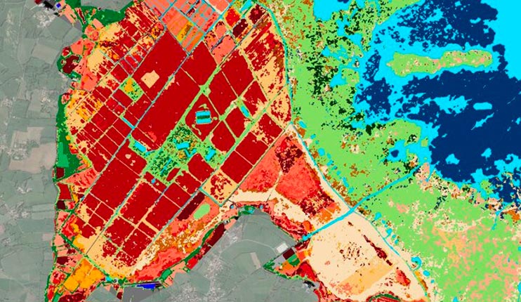
Biocoast – the satellite tool for mapping vegetation and natural habitats and supporting the ecological transition.
Biocoast is a high-resolution vegetation and natural habitat mapping solution based on the combined use of satellite images and field surveys.
It answers the challenges of ecological characterization and monitoring of classified natural spaces (nature reserves and parks, Natura 2000) as well the vegetation heritage in cities (green and blue corridors, restoration of ecological continuity, climate plan…)
It can be completed by a new tool for characterization and monitoring of tree stock (counting and height of trees, health status) which is used to implement tree plans and to assess the success of urban greening projects.
Biocoast has been deployed since 2018 for biodiversity actors and has already been involved in some thirty projects in metropolitan France and the French overseas territories.

VEGETATION ASSESSMENT
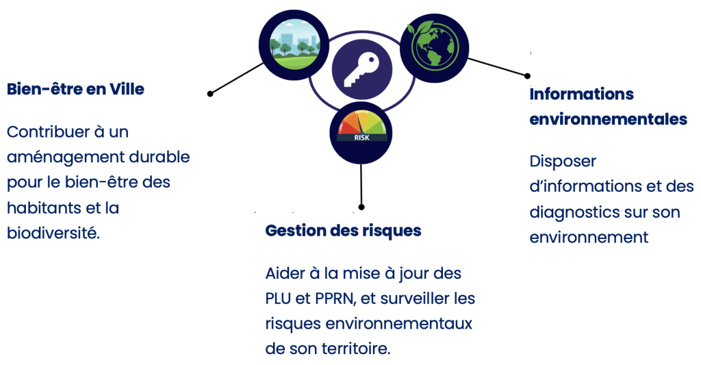
It is a decision-making support solution concerning the environmental policies designed for non-expert elected representatives. In fact, the tool produces a monthly email summary delivered directly in the mailbox of the elected representative (available in paper format too). The report is comprised of simple, relevant indicators (a dashboard based on three themes and 12 key indicators) to know the situation and evolution of its territory, with recommended actions.
