Solutions
for risk lanagement
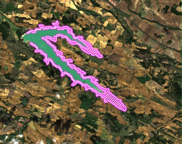
In the field of risk management, space applications make it possible for example to evaluate in real time the risk of flooding and to warn decision makers and citizens.
Others are used to evaluate damage quickly after a catastrophe to accelerate compensation procedures or to evaluate long term risks. Local authorities, State agencies….
The solutions
i-Sea Littoral
Space for shore –
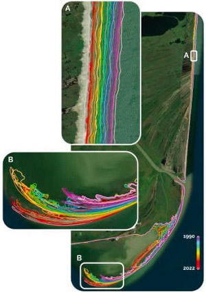
a solution for monitoring the evolution of beaches and the coastline which supports coast management organizations in understanding coastal risks.
It is a tool box based on using satellite imagery which enables to monitor the evolution of the different compartments of which the beach is comprised and the dune bar through a panel of indicators that track the dynamics of the coastline position (shoreline, foot of the dune, vegetation limit..), changes in the bathymetry of the underwater beach and the sandy structures characteristic of our coasts, such as the beach bars that offer natural protection to the shoreline.
This service helps coast management organizations (local and regional authorities, Government services) to implement their coastline observation and monitoring strategy of the coastal zone and coastline while offering recurrence and exhaustiveness at the level of the territory, in addition to field observations.
Its prototyping benefited from support from the European Space Agency (ESA Coastal Erosion program). It is listed by the IGN (under the aegis of Datalliance) and is currently deployed on the French mediterranean coast and in Guiana.
AquariA
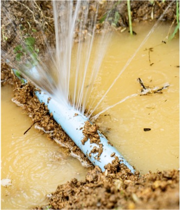
Despite technological advances, detecting water leaks is still a major challenge. The accuracy of detection and geolocation of leaks is still not optimal, and IoT based solutions are costly and complex to deploy at large scale.
Leak detection is still often based on long, costly, physical methods associated with considerable losses in time and money.
Outside of urban facilities, network monitoring is a challenge with difficult access, impossible sectoring, and use of very expensive sensors as well as sending into the field leak search teams.
Aquaria is based on using satellite imagery to constantly monitor water systems and hence detect, geolocate and warn about leaks.
Aquaria also enables to detect changes in soil humidity.
EarthChange
In SaaS or On Premise version, EarthChange accurately identifies the relevant differences between pictures from remote sensing to analyze accessible physical parameters to prepare corrective actions, preserve the environment and save the heritage.
It enables to monitor the level of lakes and rivers and it also detects heat anomalies at ground level. In particular, EARTHChange can send flood and drought warnings.
